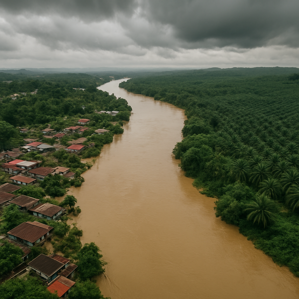
A river basin digital twin is a living, data-driven replica of a catchment that mirrors how water, pollution and land use behave in the real world. For regulators and utilities under growing pressure to protect water quality, it turns fragmented monitoring data into one continuously updated decision-making environment.
What is a river basin digital twin?
A digital twin is a virtual representation of a physical system that is continuously fed with real-world data. Applied to a river basin, it integrates hydrology, pollution sources, land use and climate into a single dynamic model that reflects the current and projected state of the catchment.
Unlike a one-off study, a digital twin is designed to stay current. As new monitoring data, discharge records and satellite observations arrive, the twin updates — giving decision-makers a near-real-time picture rather than a snapshot frozen at the time of a report.
How it differs from traditional river modelling
- Traditional models are static deliverables; a digital twin is a living platform that evolves with new data.
- It links pollution sources, hydrological pathways and assimilative capacity in one connected system rather than isolated spreadsheets.
- It supports scenario testing — letting planners ask what happens under new discharges, land-use change or drought before decisions are made.
- It makes results transparent and shareable across agencies, utilities and stakeholders.
How H2O Datatech applies it with Airnomik©
Airnomik©, our spatial decision support system, operates as a digital twin of the river basin. It dynamically models pollution sources, cumulative pollutant loads and river assimilative capacity across an entire basin, powered by AI and environmental data integration.
In the Batang Rajang TMDL Study for NREB Sarawak, this approach delivered the first operational Total Maximum Daily Load analytical platform in the state — enabling real-time risk profiling, water quality compliance analytics and faster, more transparent enforcement and licensing.
Key takeaways
- A digital twin keeps your river basin model continuously current, not frozen in a report.
- It connects pollution, flows and assimilative capacity in one decision-ready system.
- Airnomik© brings this to life for regulators and utilities at full basin scale.